
We ship worldwide - see checkout for options
Exceptional customer service trusted by 100's
£3.95
We ship worldwide - see checkout for options
Exceptional customer service trusted by 100's
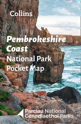
Handy little full colour map of Pembrokeshire Coast National Park. Detailed mapping and visitor information to the national park along with a selection of photographs. The perfect way to explore this beautiful area of West Wales. This small map gives a great overview of the Pembrokeshire Coast National Park. * Clear, detailed mapping * Key park, tourist and travel information * Ideal for planning visits to the national park * Index to help locate and plan your trip
| Weight | 0.5 kg |
|---|---|
| Author | |
| Editor | |
| Photographer | |
| Format | |
| Illustrators | |
| Publisher |
Only logged in customers who have purchased this product may leave a review.

Paperback
Original price was: £10.00.£9.90Current price is: £9.90.
Paperback
£30.95

Paperback
Original price was: £10.95.£9.95Current price is: £9.95.Paperback
£19.95Paperback
£0.00


Reviews
There are no reviews yet.