
We ship worldwide - see checkout for options
Exceptional customer service trusted by 100's
£55.95
We ship worldwide - see checkout for options
Exceptional customer service trusted by 100's
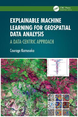
Explainable machine learning (XML), a subfield of AI, is focused on making complex AI models understandable to humans. This book highlights and explains the details of machine learning models used in geospatial data analysis. It demonstrates the need for a data-centric, explainable machine learning approach to obtain new insights from geospatial data. It presents the opportunities, challenges, and gaps in the machine and deep learning approaches for geospatial data analysis and how they are applied to solve various environmental problems in land cover changes and in modeling forest canopy height and aboveground biomass density. The author also includes guidelines and code scripts (R, Python) valuable for practical readers. Features Data-centric explainable machine learning (ML) approaches for geospatial data analysis. The foundations and approaches to explainable ML and deep learning. Several case studies from urban land cover and forestry where existing explainable machine learning methods are applied. Descriptions of the opportunities, challenges, and gaps in data-centric explainable ML approaches for geospatial data analysis. Scripts in R and python to perform geospatial data analysis, available upon request. This book is an essential resource for graduate students, researchers, and academics working in and studying data science and machine learning, as well as geospatial data science professionals using GIS and remote sensing in environmental fields.
| Weight | 0.5074056 kg |
|---|---|
| Author | |
| Editor | |
| Photographer | |
| Format | |
| Illustrators | |
| Publisher |
Only logged in customers who have purchased this product may leave a review.
Hardback

Paperback / softback
£12.95Hardback
£141.00
Paperback
£49.00Paperback
£16.95Paperback
£61.95
Hardback
£37.95
Paperback
Original price was: £9.95.£8.95Current price is: £8.95.In Stock


Reviews
There are no reviews yet.